project Holle Wegen
locatie/localisation : latitude 50° 46’ 25’’ | longitude 4° 51’ 39’’
tijdsduur/durée : 2018 - 2020
![]()
![]()
![]()
tijdsduur/durée : 2018 - 2020


EN
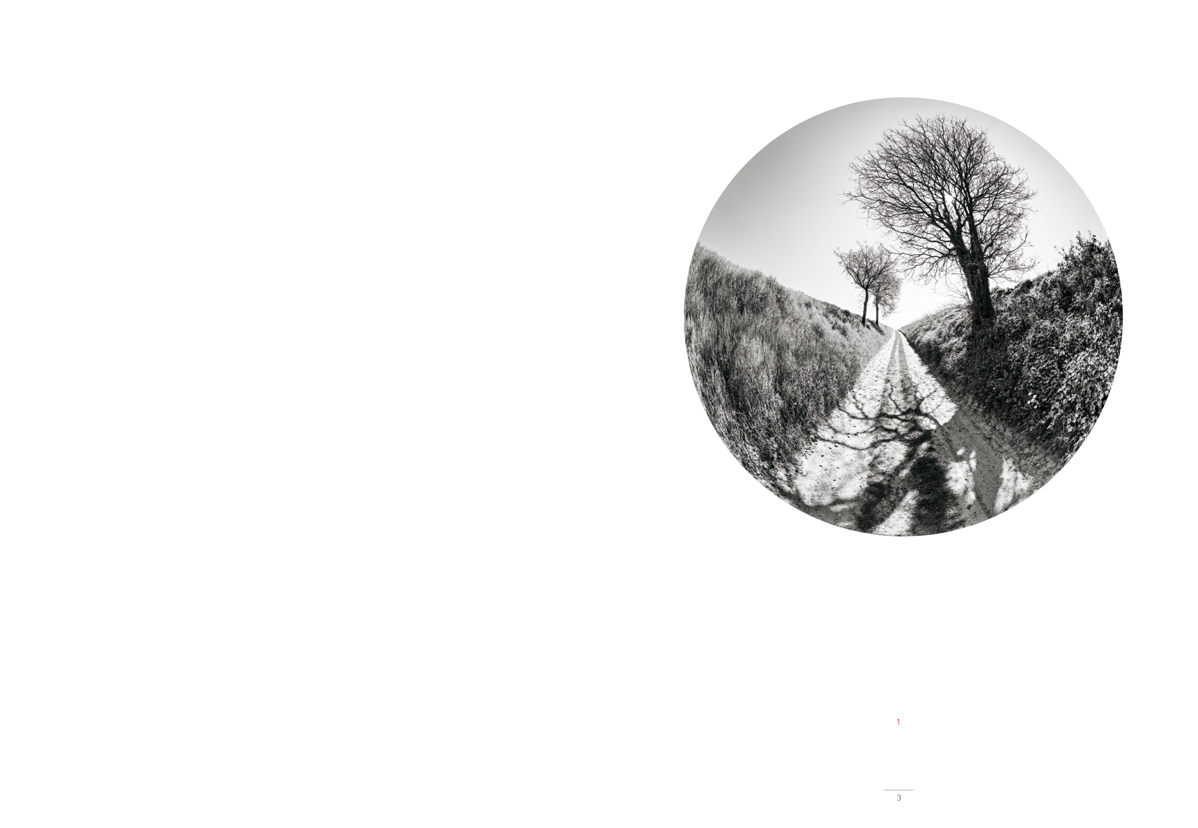
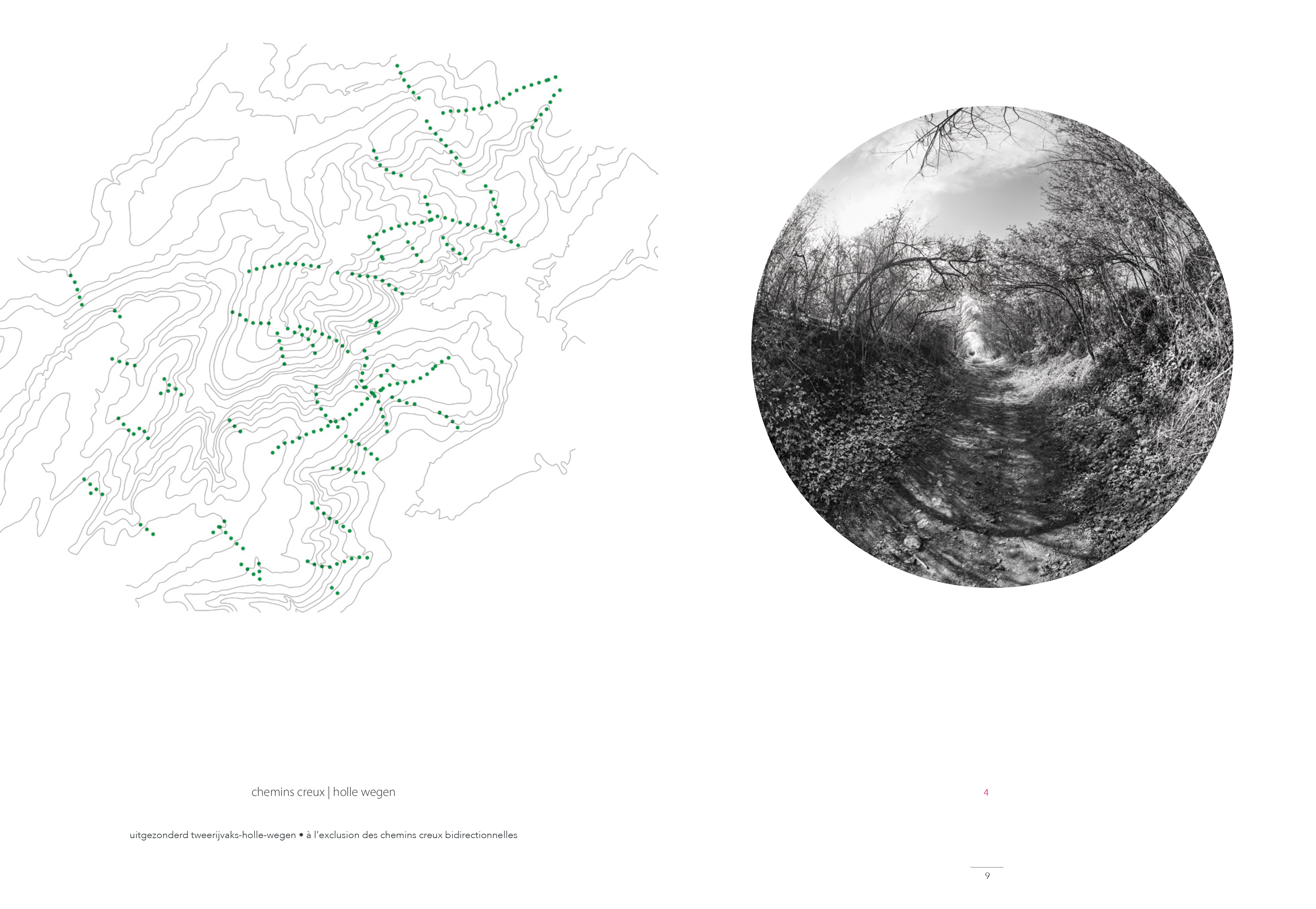
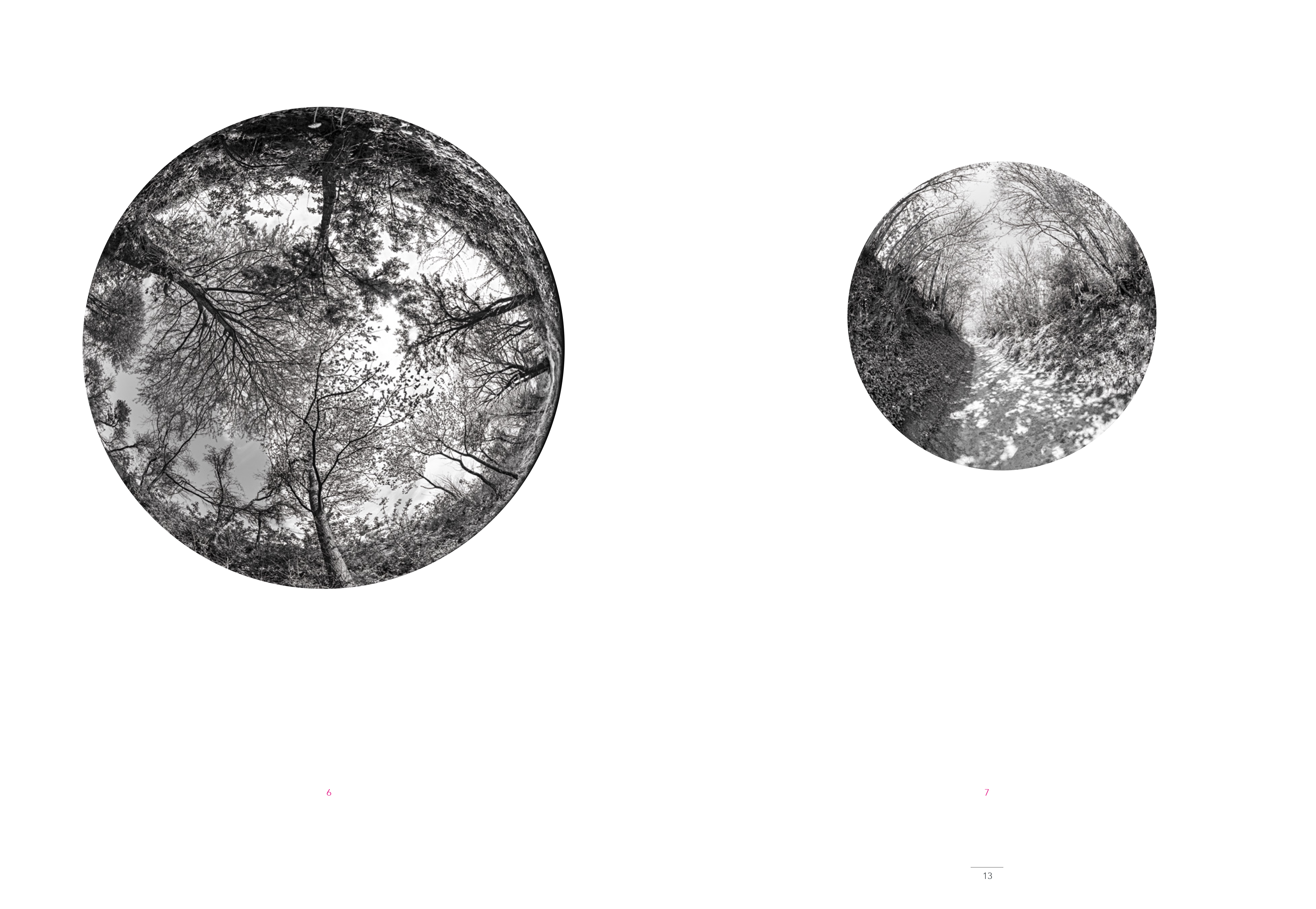
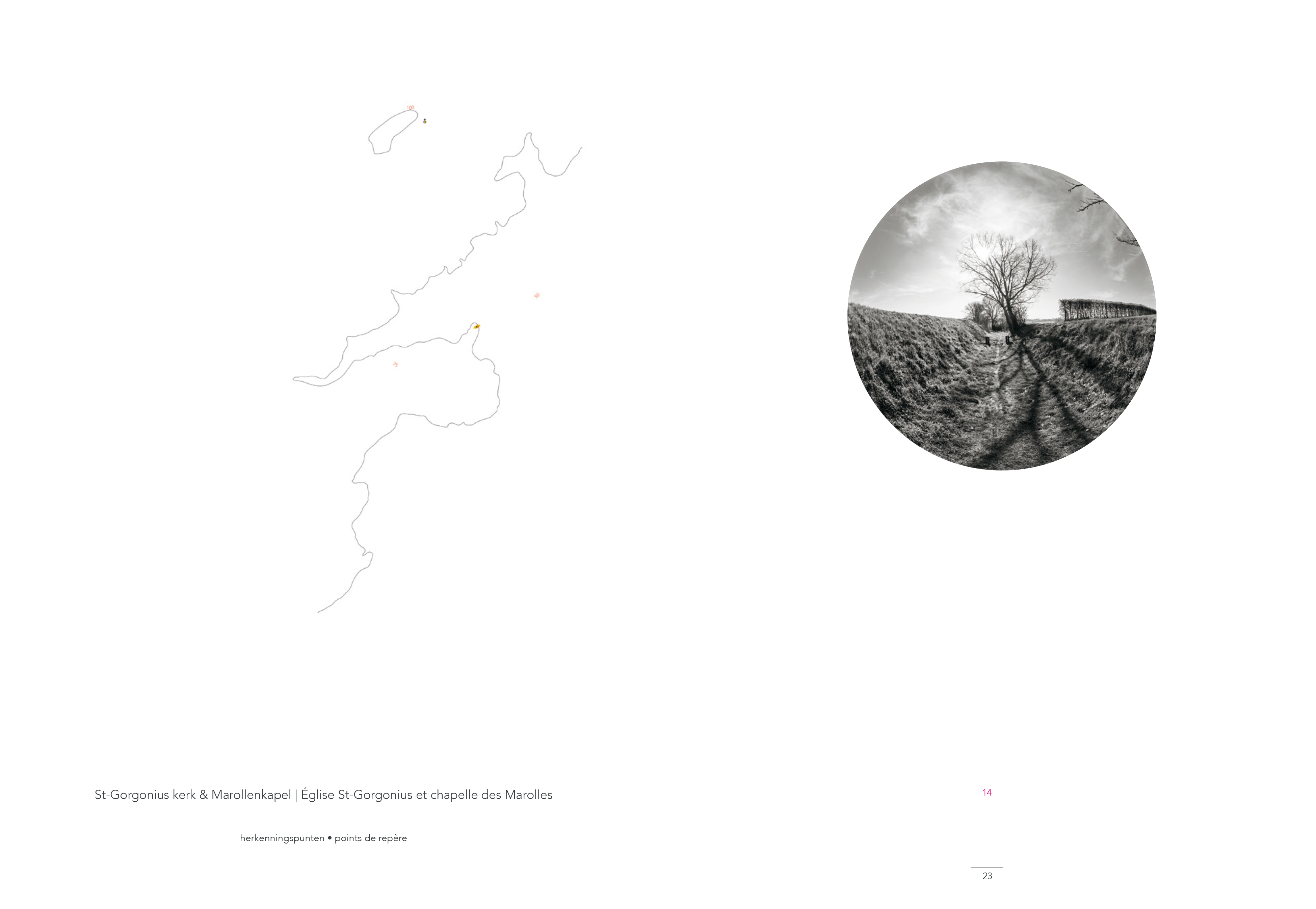
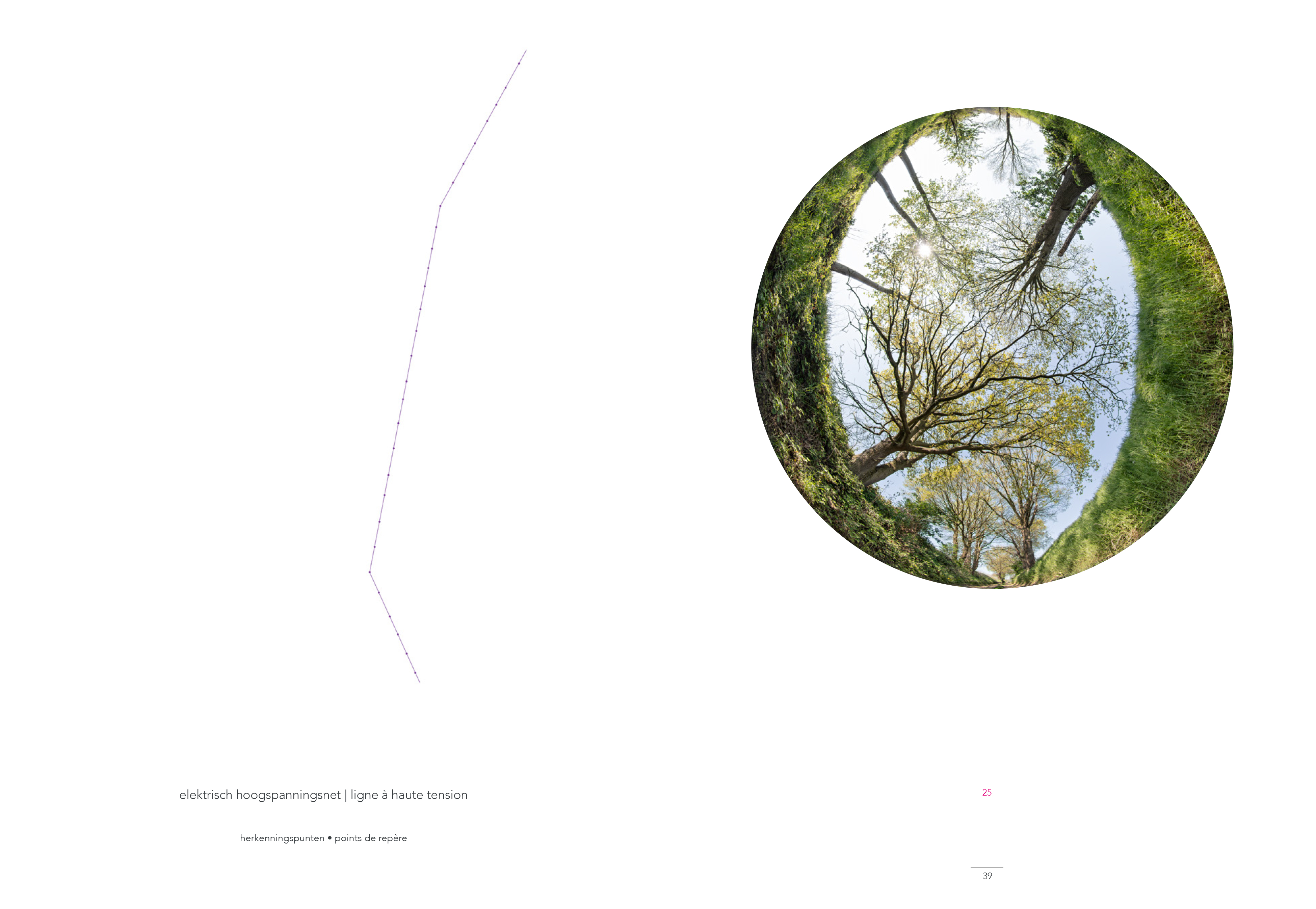
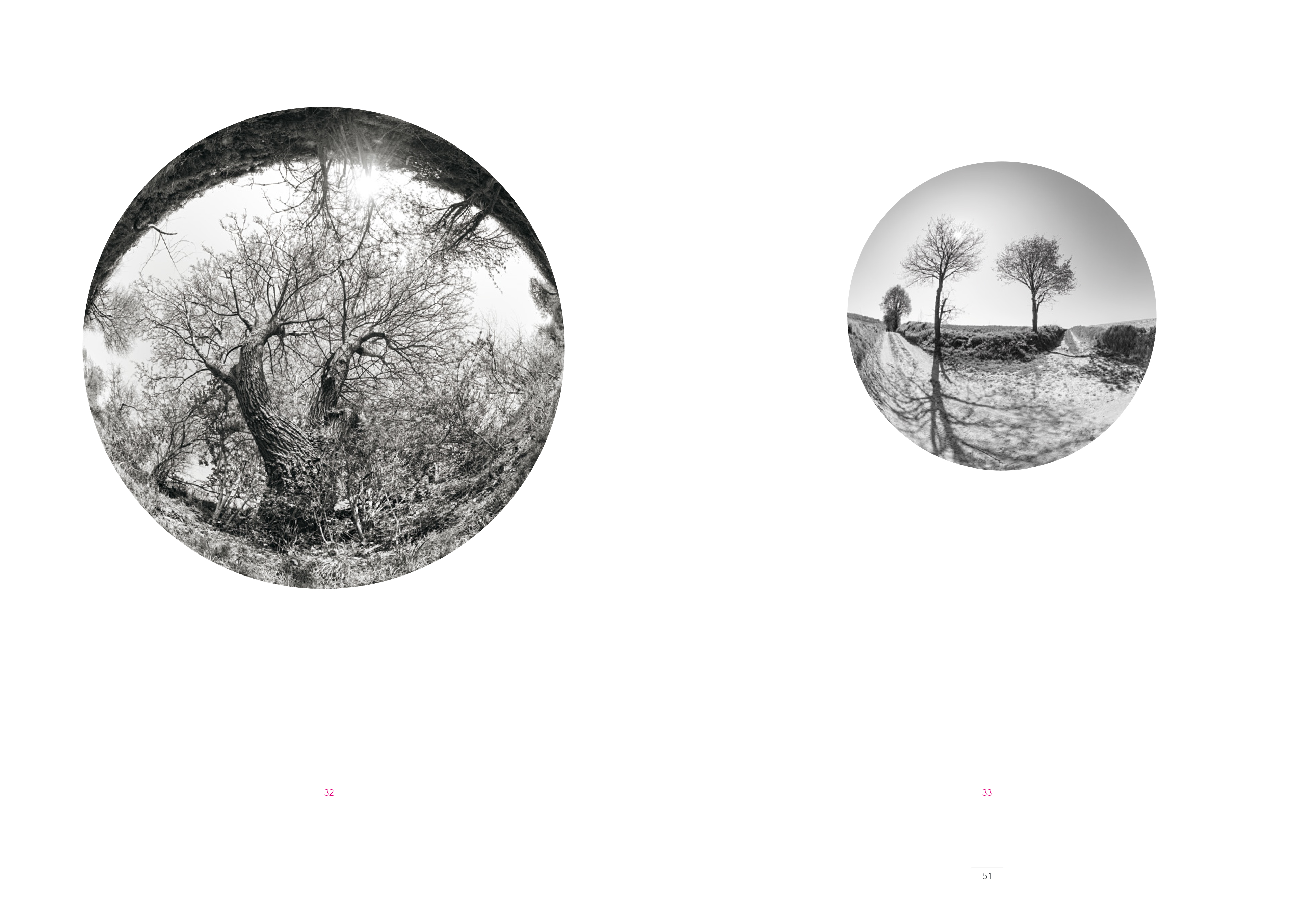
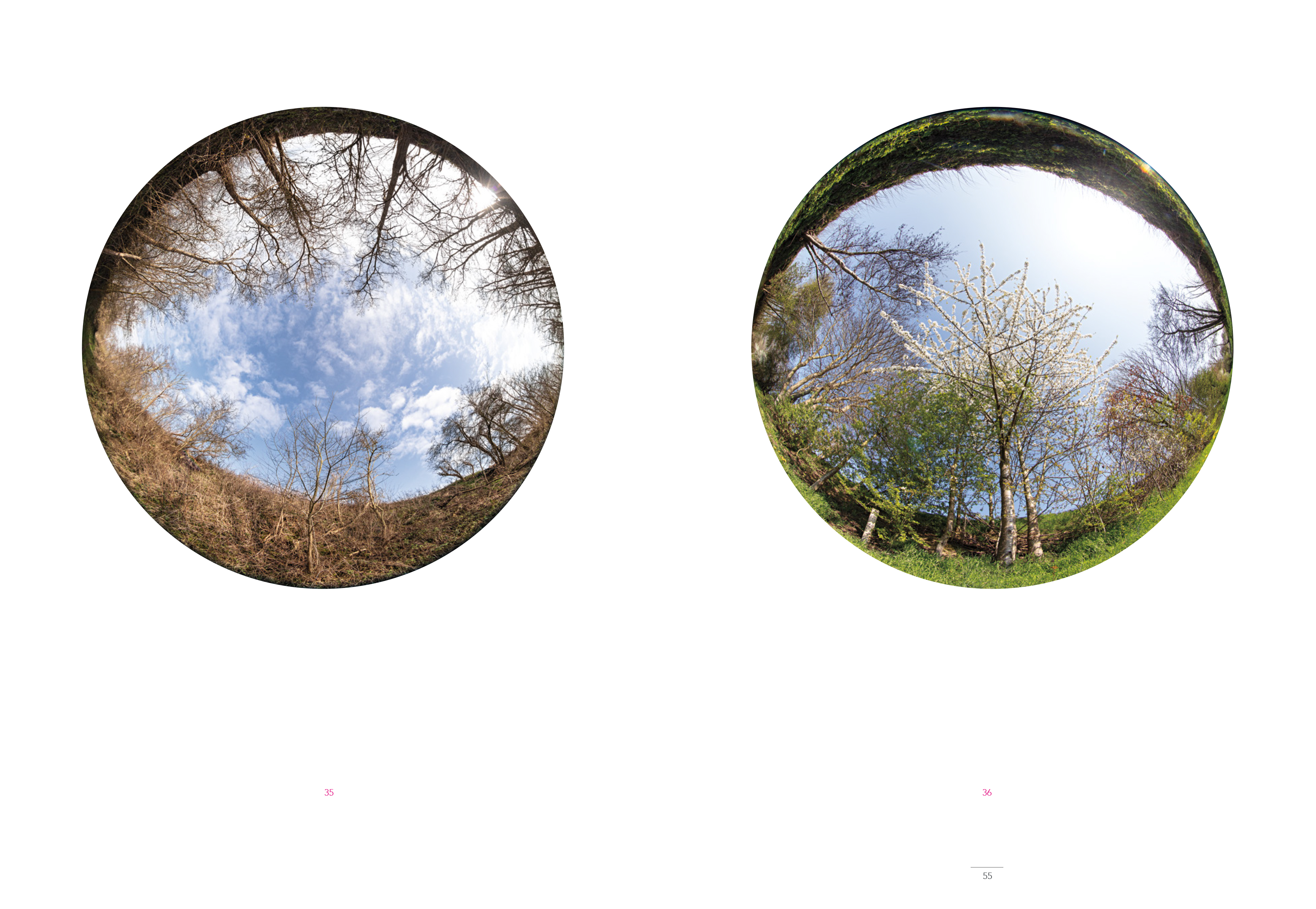
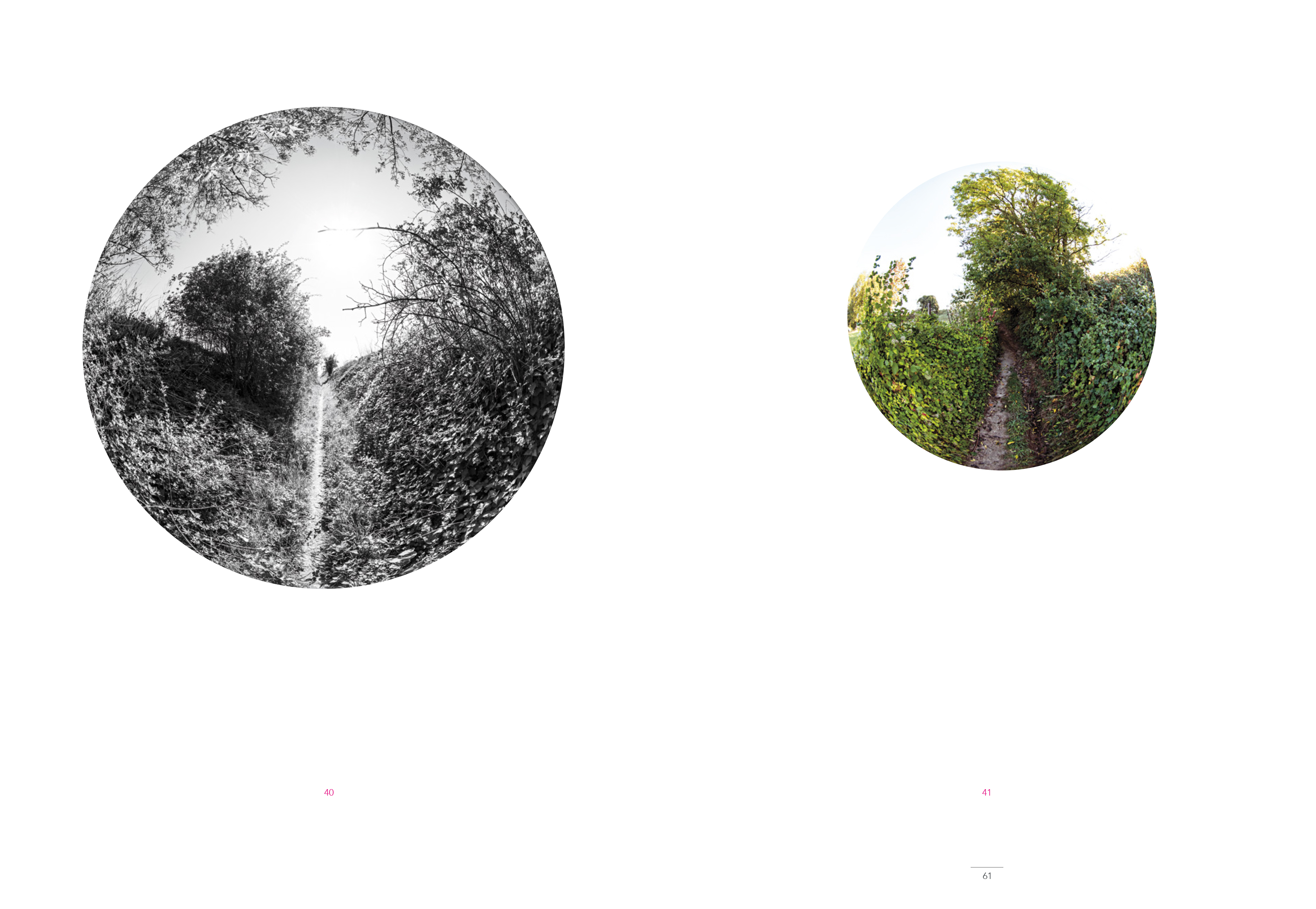
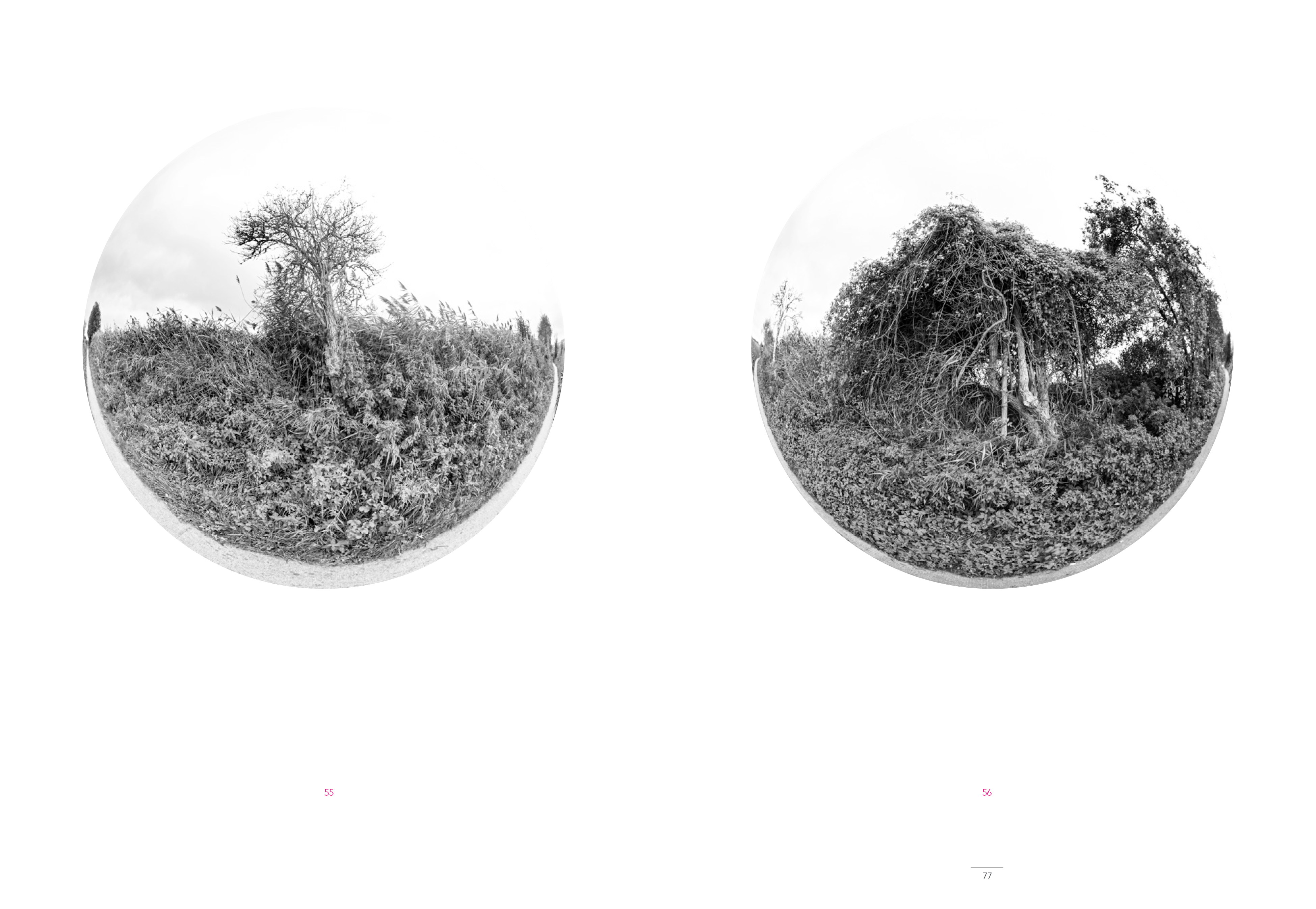
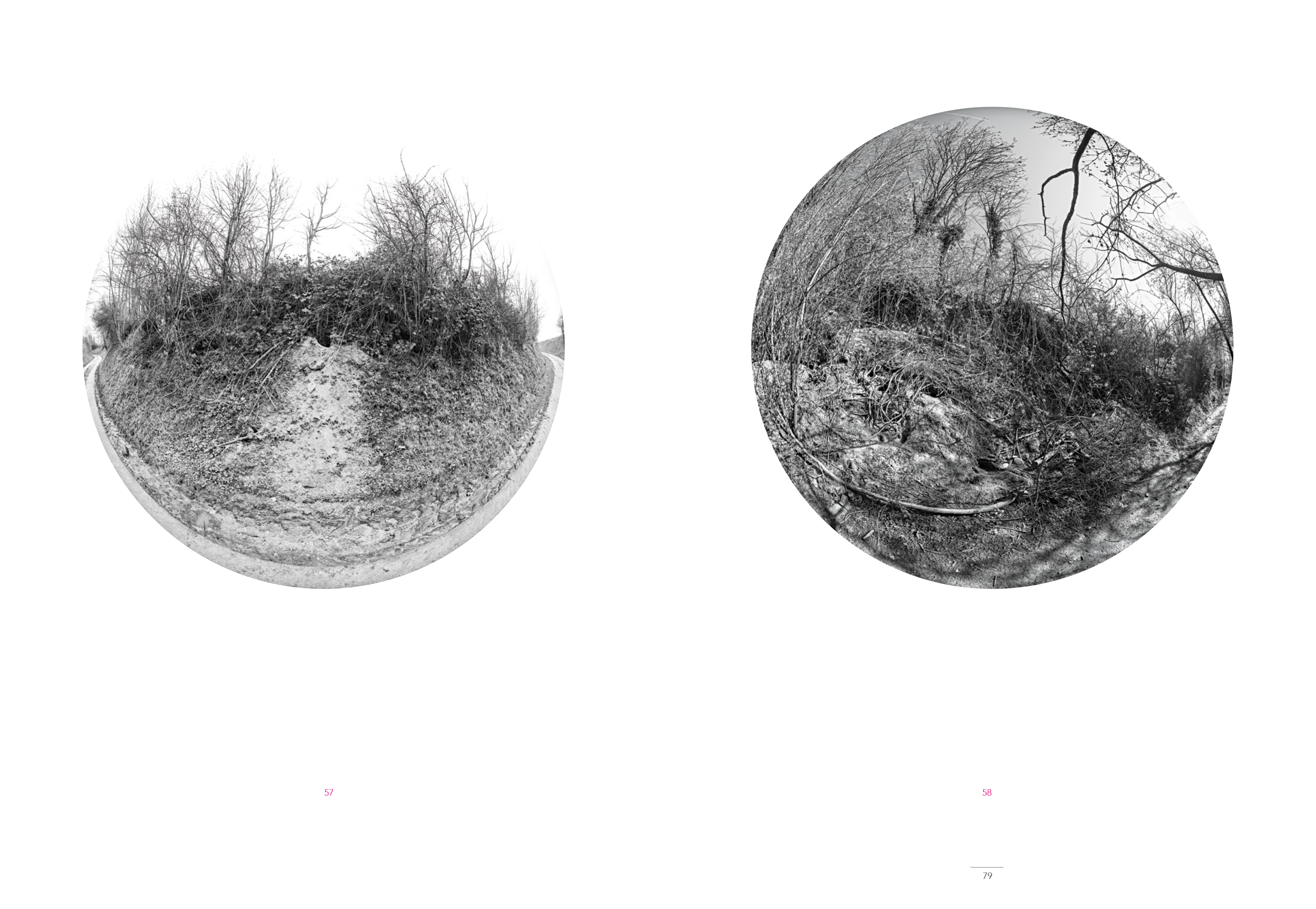
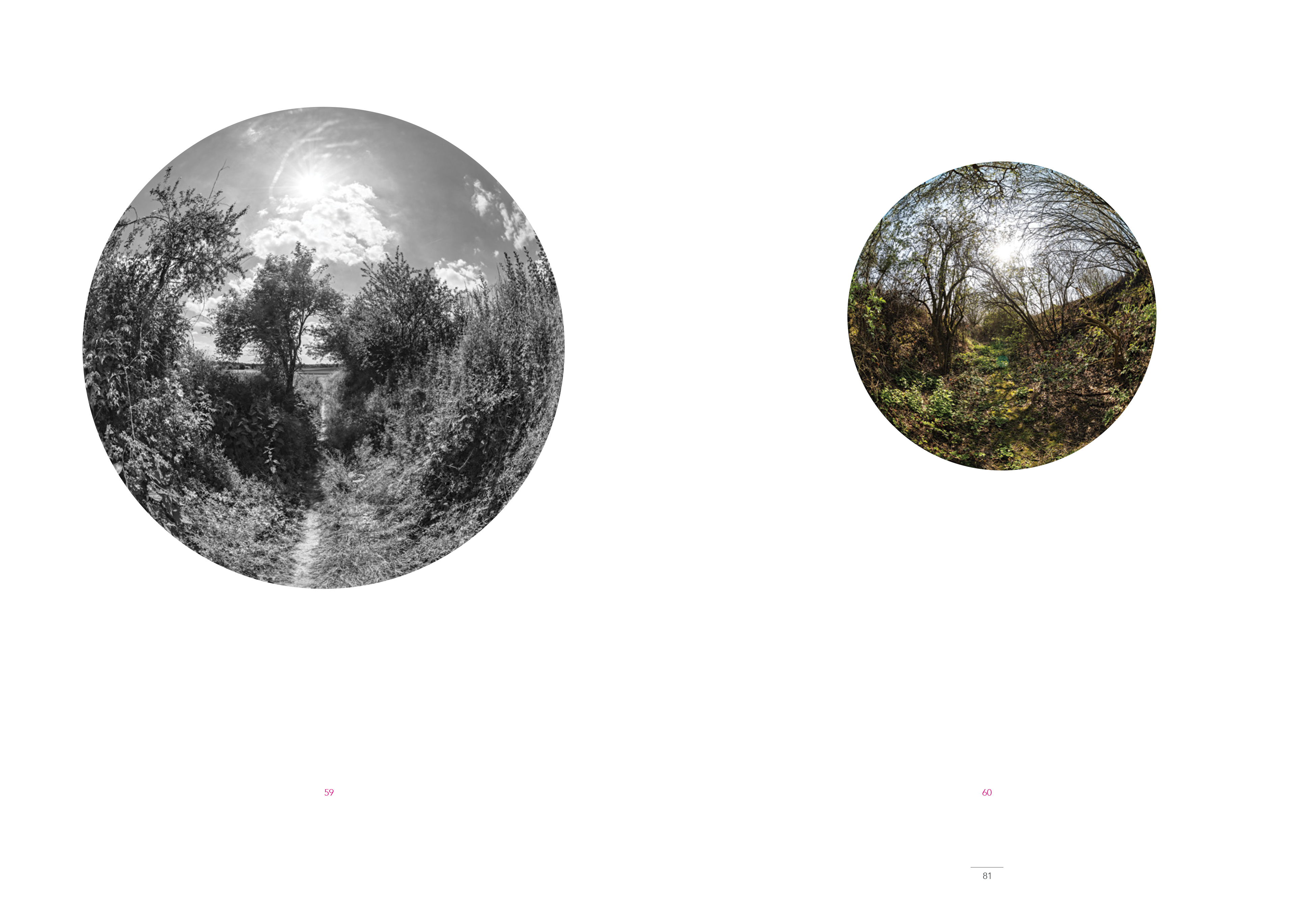
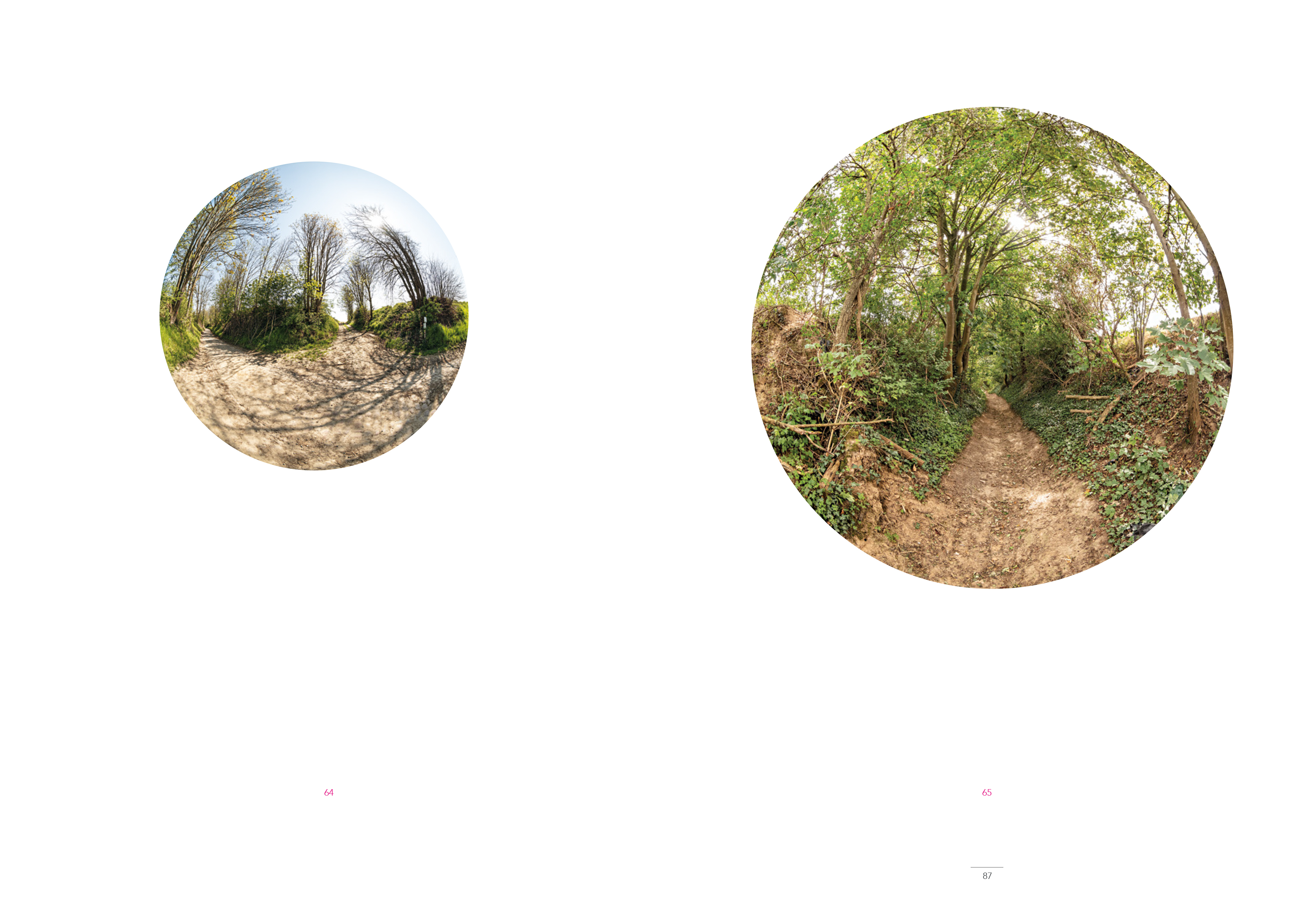
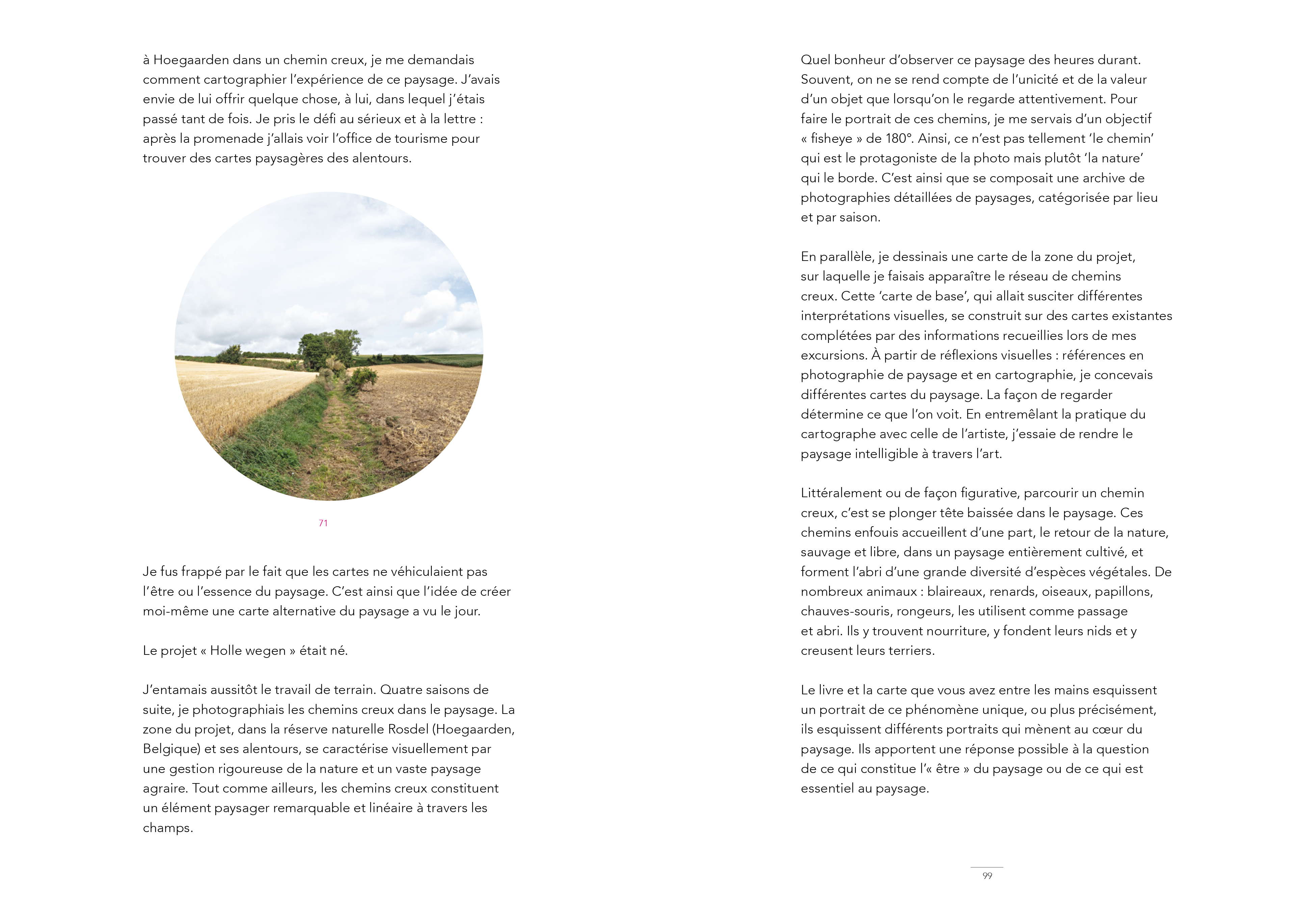
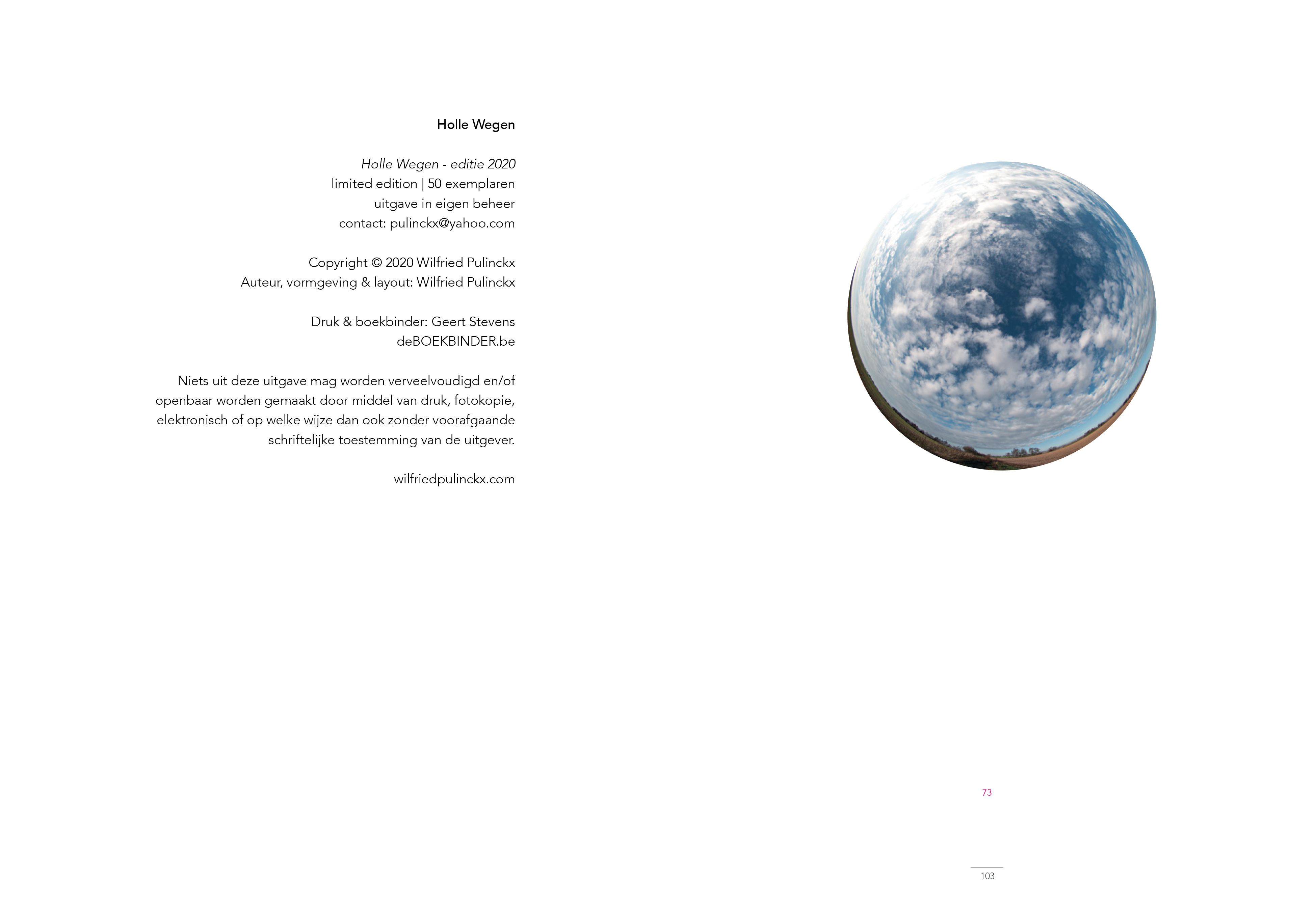
Throughout four seasons, I took photos of hollow roads in the landscape. The project area, in and around the Rosdel nature reserve (Hoegarden - Belgium), is visually characterised by strong nature management and a wide-open agricultural landscape. Here, the hollow roads form a striking, line-shaped landscap element between the fields. To portray the hollow roads, I used a 180° fisheye lens. This makes less 'the road' the main character of the photo, but rather 'the nature' surrounding the road. So grew a photo archive of detailed landscape photographs of hollow roads categorised by location and season.
How you look at something determines what you see. By intertwining the practice of the cartographer and the artist, I try to make the landscape comprehensible in a different, aesthetic way.
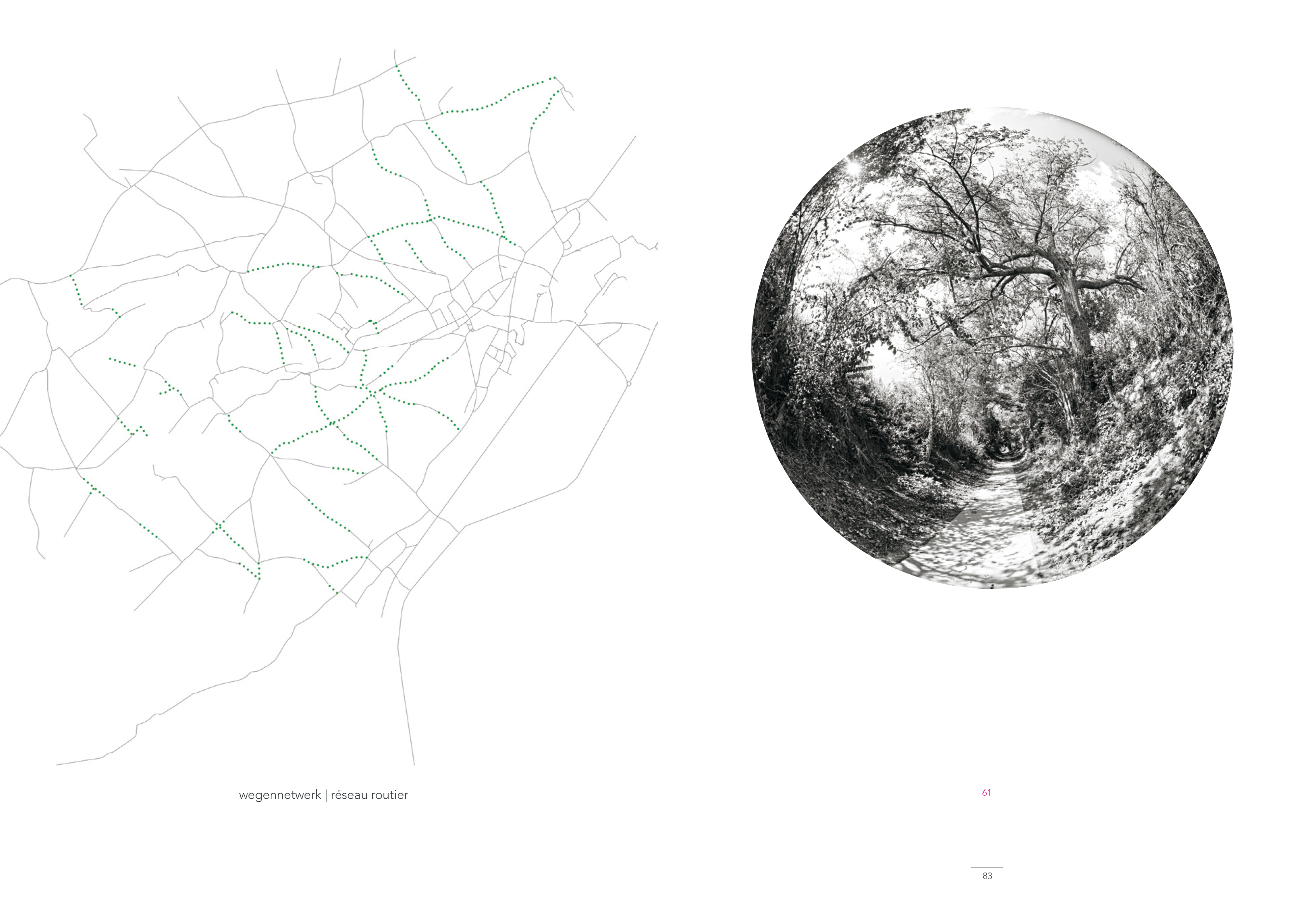
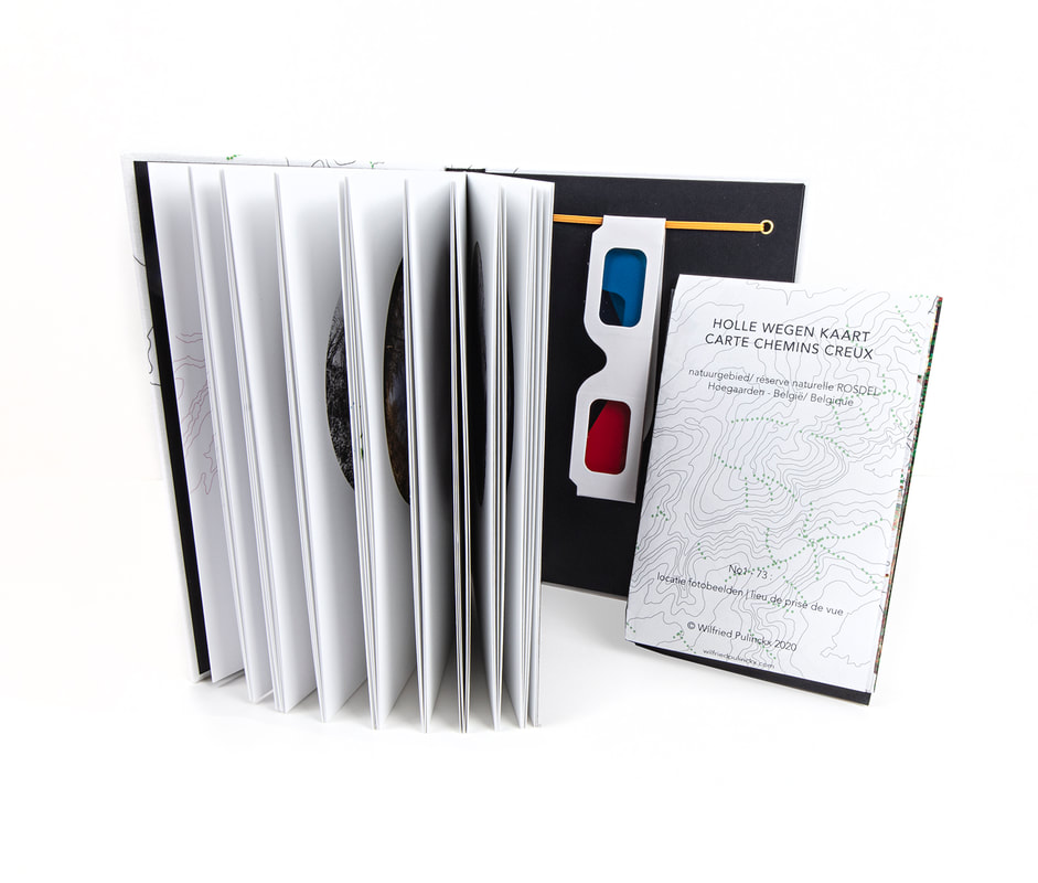
A selection of 73 photos I took throughout the seasons, along with an analysis of the different map layers, have been compiled, together with the map I developed, into the Hollow Roads book. Together, they sketch a portrait of the unique phenomenon of hollow roads in the landscape; or more precisely, they sketch different portraits, leading to the heart of the landscape.
NL
Doorheen vier seizoenen maakte ik foto’s van holle wegen in het landschap. Het projectgebied, in en rond het natuurgebied Rosdel (Hoegaarden - België), wordt visueel gekenmerkt door een sterk natuurbeheer en een weids akkerlandschap. Net als elders vormen de holle wegen hier een opvallend, lijnvormig landschapselement tussen de akkers. Om de holle wegen te portretteren, gebruikte ik een 180° fisheye objectief. Hierdoor wordt minder ‘de weg’ het hoofdpersonage van de foto, maar veeleer ‘de natuur’ die de weg omsluit. Zo groeide een fotoarchief van gedetailleerde landschapsfoto’s van holle wegen ingedeeld per locatie en per seizoen.
Hoe je naar iets kijkt, bepaalt wat je ziet. Door de praktijk van de cartograaf en de kunstenaar te verweven probeer ik het landschap op een andere, esthetische manier inzichtelijk te maken.
Een selectie van 73 foto’s die ik doorheen de seizoenen heb genomen, met hierbij een analyse van de verschillende kaartlagen zijn samen met de kaart die ik ontwikkeld heb, gebundeld tot het Holle Wegen boek. Samen schetsen zij een portret van het unieke fenomeen van de holle wegen in het landschap. Of preciezer, zij schetsen verschillende portretten, die naar het hart van het landschap leiden.
FR
Quatre saisons de suite, je photographiais les chemins creux dans le paysage. La zone du projet, dans la réserve naturelle Rosdel (Hoegaarden, Belgique) et ses alentours, se caractérise visuellement par une gestion rigoureuse de la nature et un vaste paysage agraire. Tout comme ailleurs, les chemins creux constituent un élément paysager remarquable et linéaire à travers les champs. Pour faire le portrait de ces chemins, je me servais d’un objectif « fisheye » de 180°. Ainsi, ce n’est pas tellement ‘le chemin’ qui est le protagoniste de la photo mais plutôt ‘la nature’ qui le borde. C’est ainsi que se composait une archive de photographies détaillées de paysages, catégorisée par lieu et par saison.
La façon de regarder détermine ce que l’on voit. En entremêlant la pratique du cartographe avec celle de l’artiste, j’essaie de rendre le paysage intelligible à travers l’art.
Une sélection de 73 photos avec une analyse des couches de la carte sont rassemblées avec cette carte dans le livre Holle Wegen. Ensemble, ils esquissent un portrait de ce phénomène unique, ou plus précisément, ils esquissent différents portraits qui mènent au cœur du pays
 :
: